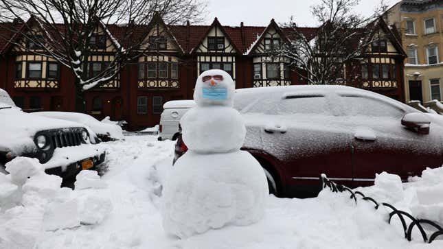
A powerful nor’easter blanketed the Northeast with several feet of snow this week, but it looks like residents won’t have much time to dig themselves out before the next one hits. Another winter storm is expected to dump roughly half a foot of snow along the East Coast by the end of this weekend.
Experts predict a low-pressure system will form off the southeastern U.S. coast on Saturday and make its way up the East Coast throughout today and tomorrow, getting stronger along the way and buffeting the region with snow and freezing rain. Dubbed Winter Storm Quade by the Weather Channel, the storm isn’t expected to reach the intensity of Winter Storm Orlena that struck the Northeast and portions of the Mid-Atlantic and Midwest this week. But it could still bring plenty of snow to regions still recovering from Orlena, which dumped up to three feet of snow in the Northeast and several inches in Washington D.C., the first time the city has measured more than a single inch in over two years, per CNN.
“This next storm won’t pack the punch of the early week nor’easter and 18-36 inches certainly isn’t the forecast this time around,” CNN meteorologist Taylor Ward told the outlet. “However, there will be a swath of 4-8 inches from the southern Appalachians through the mid-Atlantic and into the Northeast. If the low pressure is able to track closer to the coast these forecast totals could increase.”
Portions of Virginia and North Carolina are expected to see up to 6 inches of snow throughout Saturday evening and into Sunday as the storm makes its way north, strengthening as it nears D.C. and Philadelphia. Beginning Sunday, the storm could drop between 6 to 10 inches of snow on the Northeast, with snowfall predicted to end by Monday morning.
Winter storm warnings were in effect Saturday from Georgia to Massachusetts as well as in portions of Connecticut, New Jersey, the New York City metro area, and Long Island. The National Weather Service warned of high winds and freezing temperatures that could make roads slippery, so you might want to rethink about traveling in those regions if possible.
There is still a lot up in the air with this storm (pun intended), and its potential impacts are subject to change depending on how quickly and closely it tracks to the coast. The developing low-pressure system recently started shifting westward, so inland states may see heavier snowfall than previously predicted, according to the Weather Channel.
Regardless, the East Coast will undoubtedly get pretty dang cold this weekend with temperatures around freezing and strong winds making it feel even chillier. Perfect weather to curl up inside with some hot cocoa and binge something.